MELTING ICE CRUMBLES TRAILS
ReHIKE – Analysing Glacier Retreat Effects on Alpine Hiking Infrastructure using Earth Observation
Information need of alpine infrastructure management
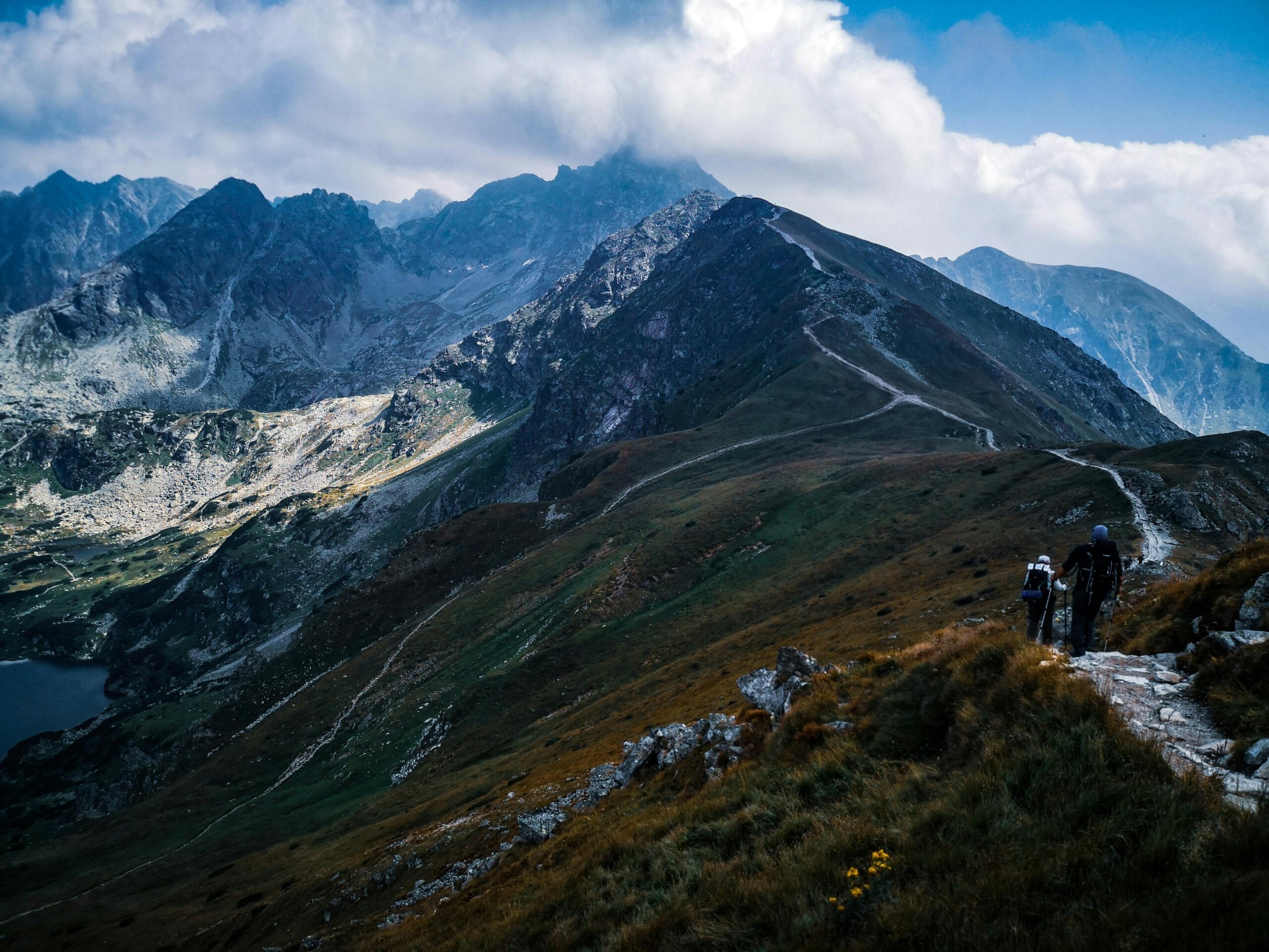
The glacier retreat and related geomorphological and periglacial processes in the surrounding alpine landscape have a strong impact on the hiking infrastructure with consequences for the local summer tourism industry relying upon high alpine mountaineering. Mountaineers perform their hiking activities on the basis of the well-kept trails, accommodation on huts and up-to-date cartographic maps that are provided by alpine associations and local tourist suppliers. However, summer tourism in the Alps faces major changes because the speed of climate change has induced a high dynamic of glacier retreat. Its associated effects can lead to trail damage and increased risks for mountaineers.
Therefore, the alpine infrastructure management, the cartographic divisions of alpine associations, the mountaineers, and local tourism stakeholders need more accurate and up-to-date information about the current glacier retreat and geomorphological and periglacial processes in their proximity and their diverse impacts on the state of alpine hiking infrastructure and the potential risk for mountaineers. Such information can be prepared based on Earth observation (EO) data provided by the European Copernicus programme.

Goals and innovation content
In the project ReHIKE (Analysing Glacier Retreat Effects on Alpine Hiking Infrastructure using Earth Observation), we go beyond the state of the art by developing categorised, up-to-date, and applicable maps implying areas prone to a risk for natural hazards and need for a higher maintenance using EO data. Therefore, we use EO and geoinformatics techniques for mapping changes of glaciers and surrounding periglacial areas. We analyse the impact of glacier retreat on the alpine trail network in the vicinity of selected glaciated areas along the main ridge of the Austrian Alps. We use a time-series analysis of Sentinel-1 and -2 data from the Copernicus programme to map glacier extent and glacier foreland features for each year, monitor the instability of slopes, and identify mass movements. We analyse the different types of EO-derived maps and assign them to impact levels that categorise the collective impacts on alpine hiking infrastructure, including trail damage potential and potential risks for hikers. The resulting impact maps of each year in the time series will be intersected with the trail network to understand which trail sections fall in which impact level. Based on this analysis, we investigate where the damage/hazard potential on trail sections did increase, stayed similar or may have started to relax.
Desired results
These information products will support alpine infrastructure managers to evaluate the effort in trail maintenance and for trail security management for the upcoming years. Cartographic divisions of alpine associations can include this information in their digital maps and online platforms that enable mountaineers to do a better-informed route planning, thus making mountaineering safer by raising awareness of involved risks.

